01
GPS site survey
RTK-GPS survey of your site: boundaries, levels, existing structures, access roads and fixed reference points. Delivered as a CAD base plan in your preferred format.
Discuss your siteYour event, precisely placed.
GPS site survey, set-out and daily drone scans for festivals and outdoor events in the UAE.
Typical positioning accuracy with RTK-GPS*
Vectorworks, AutoCAD or SketchUp
Aerial progress maps with Drone Site Scan
*Subject to site reception and correction signal.
FROM DRAWING TO GROUND
Large outdoor sites start with a CAD plan. We connect that plan to the real ground: survey the terrain, put it into your production drawing, and mark out every position on site.
From the first reference point to the final build, your team works from one coordinated plan.
Based in the UAE. Saudi Arabia & GCC on request.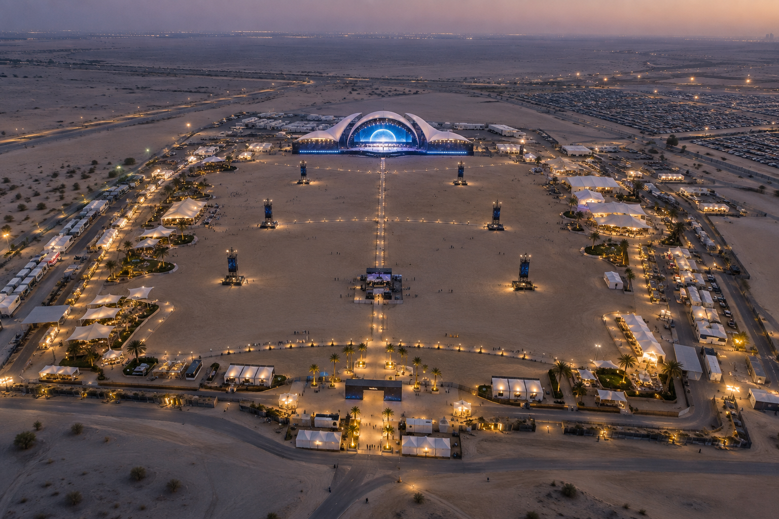
THE SERVICES
One partner for the details that make a site work. Choose individual services or support throughout your build.
RTK-GPS survey of your site: boundaries, levels, existing structures, access roads and fixed reference points. Delivered as a CAD base plan in your preferred format.
Discuss your siteEvery position from your drawing marked out on site: stage footprints, tower and truss positions, FOH, fencing lines, generators, cable routes, camping and parking grids. Per day or per event, on call during build.
Discuss your siteWe work in your drawing. Coordinates exported from and imported into Vectorworks, AutoCAD or SketchUp, so production, suppliers and site team all work from the same plan.
Discuss your siteFinal survey of the site as built. Useful for permits, insurance, handover to the landowner and planning next year's edition.
Discuss your siteA CLEAR WAY FORWARD
We measure the site with RTK-GPS: boundaries, levels, existing features and fixed points.
You receive a CAD base plan. Your team draws the production on real coordinates.
We mark out stages, towers, FOH, fencing, generators and cable routes on site, exactly to drawing.
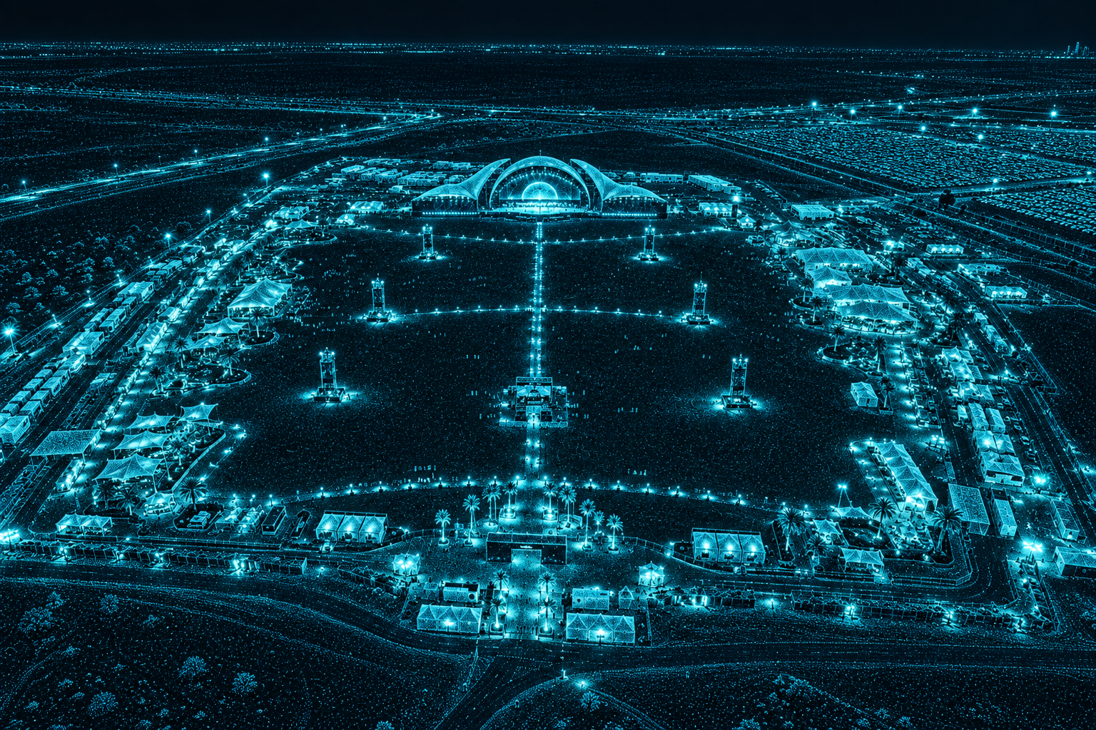
Daily drone scan from pre-production to handover: an aerial map next to your plan, with a short progress report.

THE AERIAL PERSPECTIVE / OPTIONAL ADD-ON
Aerial mapping of the full site, flown by GCAA/DCAA licensed pilots, at every stage of your event:
Every scan: a georeferenced aerial map over your plan, plus a short progress report — what’s done, what’s off-plan, what needs action.
Flights are scheduled outside public hours and never over audiences. Flown by licensed, insured partner pilots with the required site permits. Plan at least 2–3 weeks ahead.
Add a Drone Site ScanREADY FOR YOUR WORKFLOW
Clear files, checked positions and a record you can use again. Delivered in the formats your team already works with.
CAD base plan: DWG / DXF, Vectorworks (VWX) or SketchUp (SKP)
Survey points and coordinates: CSV
Set-out report with positions checked on site
Drone add-on: georeferenced aerial map (GeoTIFF / high-res image), elevation model, daily progress report (PDF), with daily scans during build, show days and breakdown
As-built plan and archive for your next edition
Levels, boundaries and existing features in one coordinated drawing.
Stage, tower and FOH positions referenced to the site grid.
A daily plan overlay, completed work and items needing action.
BUILT AROUND YOUR PRODUCTION
From festival grounds to temporary structures, we understand what your site team needs to keep moving.
01We speak production: we know what a stage footprint, a rigging grid or a generator position means, and why 30 cm matters.
02We work in your drawing, not in a separate survey file you have to translate.
03Event pace: night changes, tight build schedules and fast turnaround.
04One partner for the technical side of your site: survey and set-out, drone scan, and sound level management.
YOUR TEAM. OUR FIELD EXPERTISE.
From the first site plan to the final build, we work alongside the people making it happen.
A FEW USEFUL ANSWERS
With RTK-GPS we typically work to 2–3 cm. Accuracy depends on satellite reception and correction signal on site; we check it on every job.
DWG, DXF, Vectorworks, SketchUp and CSV. Send us your current drawing and we'll work from that.
GPS survey and set-out: as early as possible, ideally 2–4 weeks before build. Drone scans need a flight permit, so book at least 2–3 weeks ahead.
Drone flights are carried out by GCAA/DCAA licensed and insured pilots, with the required permits for your site. We plan the flights and deliver the results.
Yes, across the UAE, and in Saudi Arabia and the wider GCC on request.
No. Our survey is for event planning and set-out. For legal or cadastral surveys we refer you to a licensed land surveyor.